Unit 2: Map Reading
Unit 2: Map Reading

Unit 2: Map Reading
Unit 2: Map Reading
Map reading (also sometimes written as map reading) is interpreting or understanding the geographic information portrayed on a map. By reading maps, the reader should be able to develop a mental map of real-world information by processing the information symbolized on the map. To do this, the reader must derive essential information presented by the map, such as distance, direction, natural and artificial features, and topographical features.
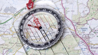
A map is a graphic representation of a portion of the earth's surface drawn to scale, as seen above. It uses colors, symbols, and labels to represent features found on the ground. The ideal representation would be realized if every map area feature could be shown in proper shape. This is impossible, and attempting to plot each feature true to scale would make a product impossible to read, even with a magnifying glass.
A map provides information on the existence, location, and distance between ground features, such as populated places and routes of travel and communication. It also indicates variations in terrain, heights of natural features, and the extent of vegetation cover. With our military forces dispersed worldwide, it is necessary to rely on maps to provide information to our combat elements and resolve logistical operations far from our shores. Soldiers and materials must be transported, stored, and placed into operation at the proper time and place. Much of this planning must be done by using maps. Therefore, any operation requires a supply of maps; however, the finest maps available are worthless unless the map user knows how to read them.
Vocabulary
Lesson Reading
Videos and Interactives (Click on Images to View Content)
Map Reading

Map Reading
